Connecting Paddlers to Florida's Water Trails
Welcome to the Florida Paddling Trails Association (FPTA). We are the steward of Florida's paddling trails. FPTA's mission is to support, improve, and maintain water trails; promote environmental protection along the trails; serve as a resource and advocate for paddlers; and promote paddling safety and education. Read more
Our website has information on most water trails in the state including the longest paddling trail in the continental United States, the Florida Circumnavigational Saltwater Paddling Trail (CT). You can find details on day paddles, campsites, launches, sights to see, and facilities along the trails by clicking on the Paddling Trails link on the top menu bar, under Paddling.
Trail of the Month
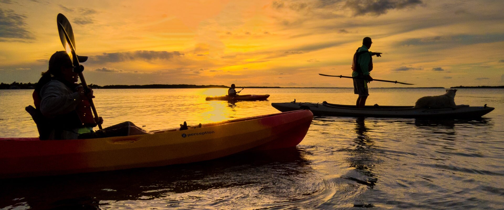
Spring Creek Paddle Paddle
Submitted by Dorsey Demaster Region C Co-Director
Spring Creek - Shell Point Beach
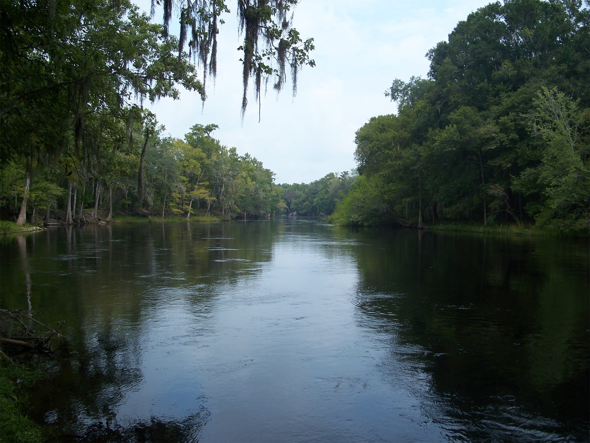
Spring Creek
Spring Creek
Spring Creek Paddle
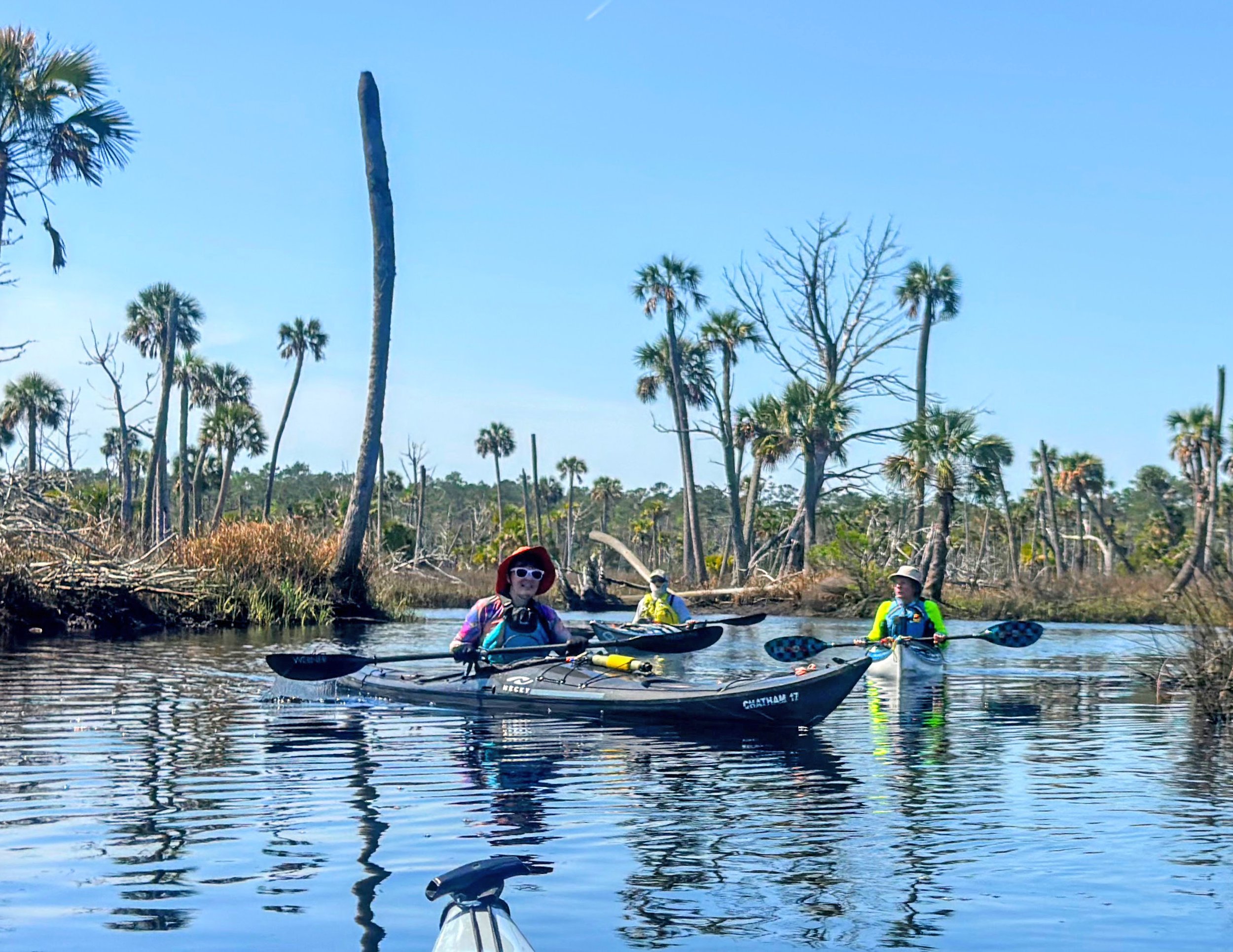
Description: This paddle offers some variety, open water paddling, navigation around oyster bars, visiting springs and a great tannic creek paddle. Spring Creek is aptly named for it’s 13 springs located near the creek’s mouth. Unfortunately, the tannic creek does not allow for the usual clear Florida springs vistas. However you can see a few of the boils as they reach the surface, especially Spring #1 with an extremely high outflow, and the smaller Spring #2 (See Map). The creek itself goes almost all the way to the Florida Hiking Trail.
Skill Level: Advanced
Distance/Approximate Time: 9.5 Miles/5 Hours
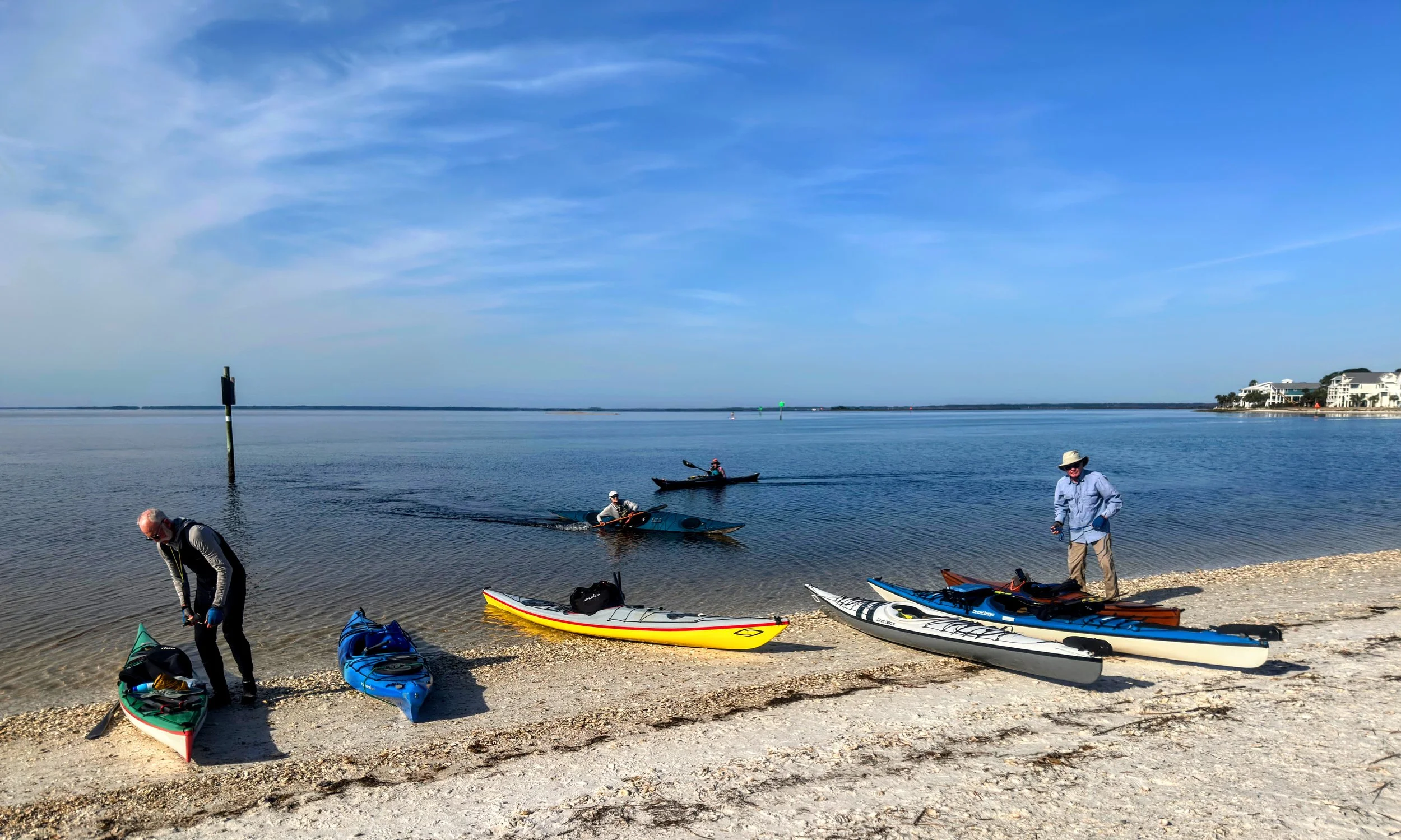
Launch Site: Shell Point Beach
Take Out: This is an out and back paddle route
Special Considerations: Recommend paddling on medium to high tide only. Some open water paddling, and the bay can get quite rough. Long oyster bars in the bay prior to entering the creek do have a few breaks to navigate through. GPS recommended. Deadfall is common as you near the turnaround point.
Trip planning: In addition to weather, planning for your trip should include tide and wind forecasts. When Trip planning, please see our Paddling Resources > Planning Tools page - https://www.floridapaddlingtrails.com/planning-tools
For more information: go to: https://www.floridapaddlingtrails.com/s5psm-day-paddles-overnight-primitive-camp-trips