K: The Space Coast
K: The Space Coast
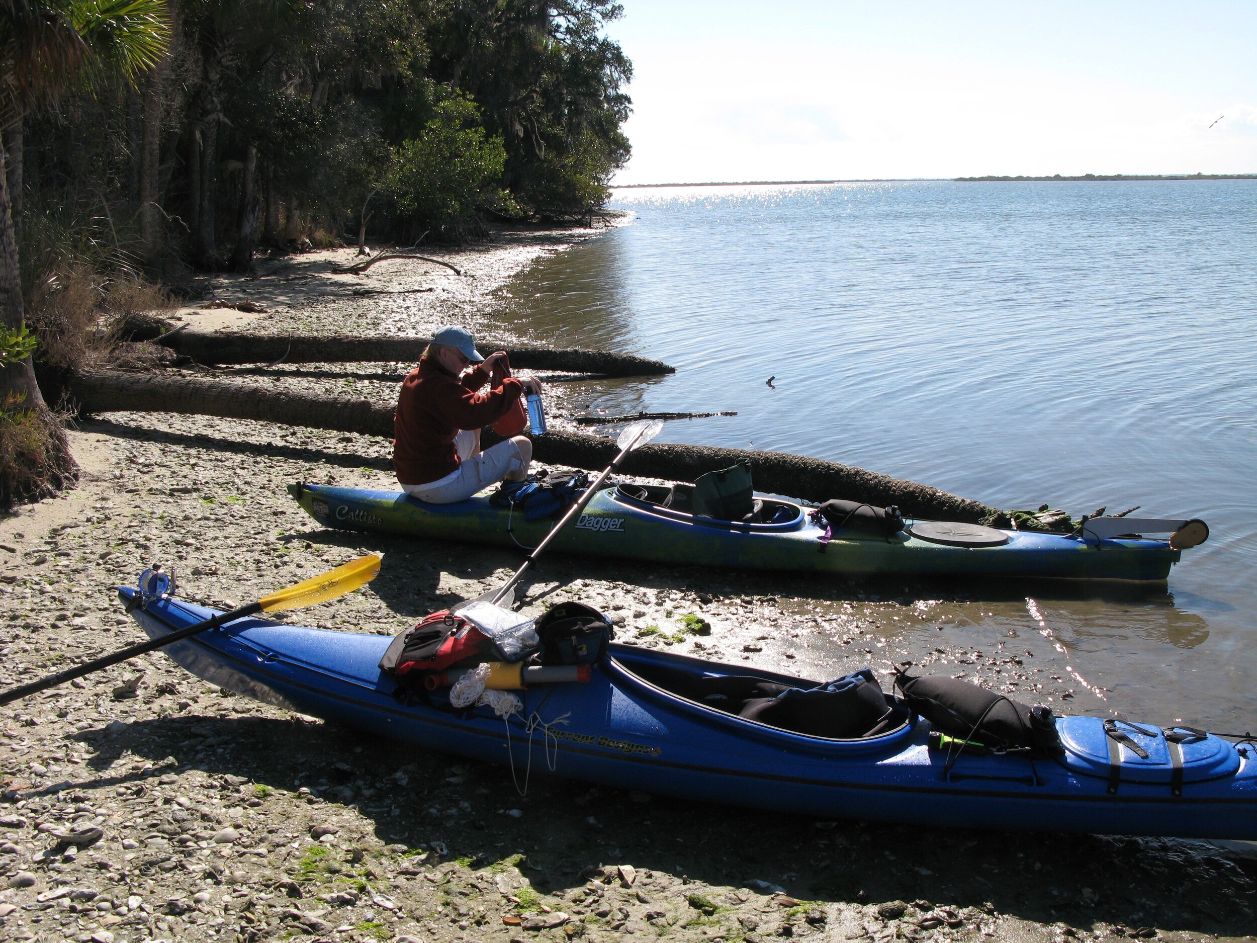
Manatees and bird rookeries abound as paddlers explore the Indian River Lagoon, Banana Lagoon, the Merritt Island National Wildlife Refuge, and the many islands of the Mosquito Lagoon. The Upper St. Johns River is the dominant feature through the interior part of this region. Other paddling trails include Spruce Creek, Bulow Creek, and the Pellicer and Tomoka Rivers.
22: Mosquito Lagoon / Upper St Johns
The Indian River Lagoon is considered to be North America's most diverse estuary. Overlapping tropical and subtropical climates have created an ecosystem that supports more than 4,300 plants and animals. Another prime paddling area is Mosquito Lagoon, a place of unspoiled islands and tidal creeks that is sheltered from the Atlantic by Cape Canaveral and Merritt Island. This estuary is a vital nursery for fish, oysters, clams, shrimp and other sea life and, not surprisingly, it's one of Florida's most famous fishing grounds.
The famous St. Johns River begins in this segment and winds north through vast wetlands. At 310 miles, this is the longest river in Florida and one of the few in the country that flows north. While people have paddled the wild upper reaches of the St. Johns, there is no handy guidebook at the moment to help paddlers navigate.
The circumnavigational trail in this segment starts at Melbourne's Front Street Park and the first stretch involves paddling a relatively wide and straight part of Indian River Lagoon to Island #35, some 18 miles to the north.
The next overnight stop for long distance paddlers is Brevard County's Manatee Hammock Campground and then it's back in the boat and on to Titusville. Be sure to load up on freshwater, as there is no available source for the next two days.
Past Merritt Island and the John F Kennedy Space Center you'll reach Haulover Canal. This is the point where you'll need to cross into the Mosquito Lagoon and Canaveral National Seashore. Be sure to stop at the Eldora Statehouse and Shipyard Island. The terminus of this segment is Smyrna Dunes Park, 13 miles north of Shipyard Island.
81-82 miles of Circumnavigational Trail
Upper St. Johns River
Florida Cities: Cocoa, Titusville, New Smyrna Beach
Contact: Contact our Region K Director or Trailkeeper for more information by clicking here.

Day Paddles and Overnight Camping Trips
Areas
Multiday Trail Maps
Environmental Considerations
Boat traffic can be heavy along the Intracoastal Waterway, especially on weekends and holidays
Paddling along the high energy East Coast shoreline is not recommended due to safety considerations. Conditions can change abruptly and there are few inlets to allow paddlers to move to more sheltered waters.
At Ponce Inlet, proceed with caution as currents are heavy and breakers will likely be encountered as you near the Atlantic
Access to certain areas near the John F Kennedy Space Center are restricted
Emergency Contacts
Police, Fire and Medical Emergencies: 911
Brevard County Sheriff: 321-264-5100, 321-633-7162
Volusia County Sheriff: 386-423-3888
Florida Fish & Wildlife Commission Hotline: 1-888-404-3922
23: Tomoka / Pellicer
The Tomoka / Pellicer segment is rich in history, ecology and scenic beauty. Paddlers can enjoy scenes that have changed little since Timucuan Indians plied these pristine estuarine and riverine systems in their dugout canoes. For those interested in more contemporary times, five outstanding state parks are within easy reach, along with Florida's tallest lighthouse at Ponce de Leon Inlet.
Circumnavigational trail paddling starts at Smyrna Dunes Park near the Ponce Inlet. For those camping nearby, numerous spoil and natural islands are available within the wide Halifax River basin, as well as camping at the developed Spruce Creek County Park.
There are several rest stops along the route north including the Ponce lighthouse and the Port Orange Causeway Park (A1A Bridge). From here it is 14 miles to the Tomoka Basin islands in Ormond Beach.
After the Tomoka Basin, the Halifax River suddenly narrows and morphs into Halifax Creek, then into Smith Creek, and finally into the Matanzas River. The Matanzas eventually widens in the Pellicer Flats. Camping is available at Mellon Island, located a short distance from Marineland.
Rivers such as the Tomoka and Pellicer have undeveloped sections that flow primarily through public lands. The upper sections are lush and canopied while the lower ends are tidally influenced and offer marshy vistas. Bulow Creek, in the Tomoka area,gives an added plus of flowing past the ruins of an historic plantation and sugar mill.
48 miles of Circumnavigational Trail
4 state designated River Trails
Florida Cities: Daytona Beach, Ormond Beach, Palm Coast
Contact: Contact our Region K Director or Trailkeeper for more information by clicking here.

Day Paddles and Overnight Camping Trips
Areas
Multiday Trail Maps
Environmental Considerations
Boat traffic can be heavy along the Intracoastal Waterway (ICW), especially on weekends and holidays.
Paddling along the high energy East Coast shoreline is not recommended due to safety considerations. Conditions can change abruptly and few inlets allow paddlers to move to more sheltered waters.
Emergency Contacts
Police, Fire and Medical Emergencies: 911
Volusia County Sheriff: 386-254-4689
Flagler County Sheriff: 386-437-4116
Florida Fish & Wildlife Commission Hotline: 1-888-404-3922